- Map
- City of Baton Rouge
- Department of Information and Technology, Esri
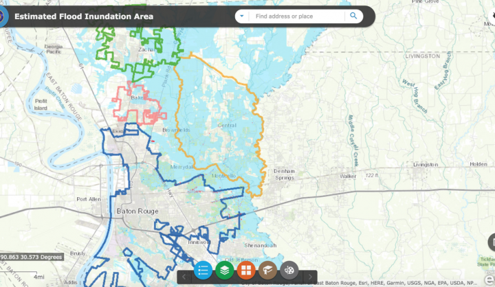
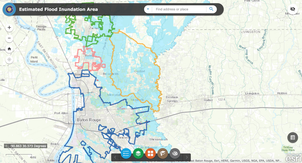
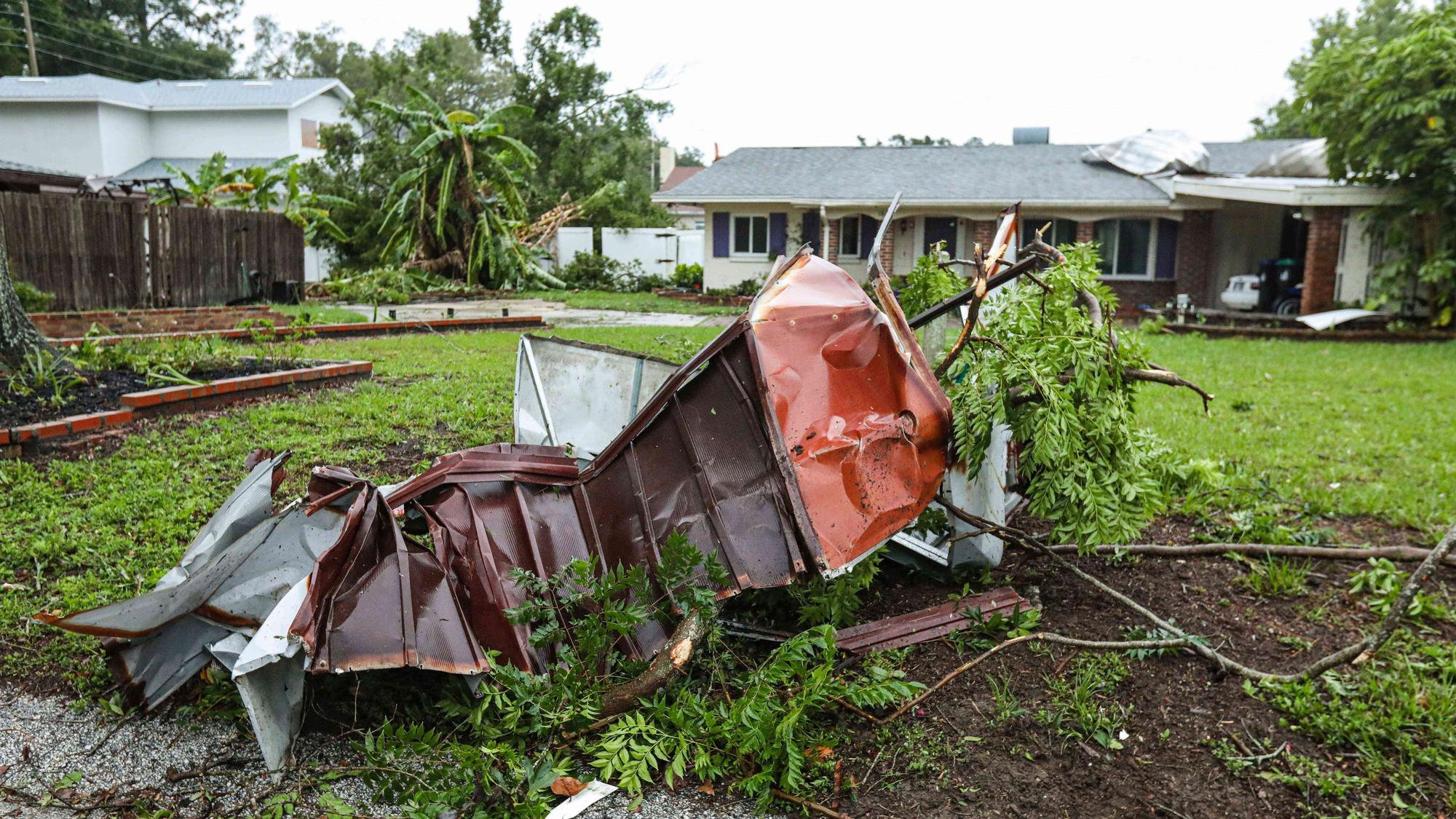
In the wake of severe flooding this summer in Baton Rouge, Louisiana, the city partnered with GIS mapping firm Esri to launch a series of apps designed to help cities track flooding through nearly real-time mapping of flood zones, a catalog of open businesses for residents to navigate, and a visualizer of before and after scenes.
DATASETS
311, crowd-source (Facebook, Twitter)