- Map
- Various (all counties)
- Sketch City
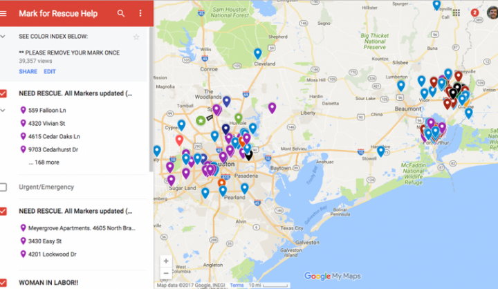
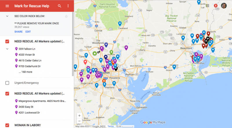
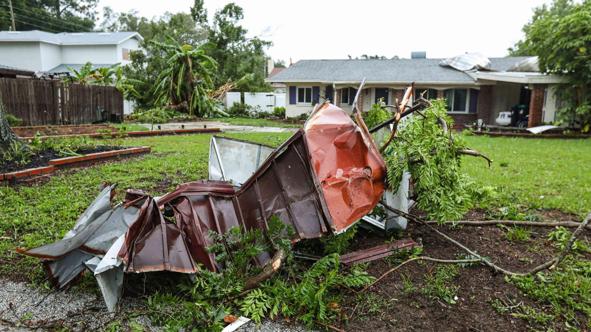
During Hurricanes Harvey and Irma, Houston and Miami took on the responsibility of pulling together information from a variety of sources that would be useful to residents and responders during and after the storms. During Harvey, the City of Houston partnered with Harris County in order to release information like flooding estimates and evacuation routes. Then, during the recovery phase, the city released updates on the status of city services, a power outage tracker, and transit routes resuming service. Similarly, Miami curated flood maps from Miami-Dade County's website and initial storm surge information from Florida International University's (FIU) Storm Surge Simulator during the storm and information on city services, transit, and other critical developments throughout the response and recovery. In addition to curating existing data, Miami's GIS teams out of its Department of Information Technology (IT) made efforts to gather new, more accurate flood data in the days following the storm. The city had models of storm surge from old FEMA maps, but wanted more accurate estimates of flooding. With this in mind, the city armed nine pairs of staff members from the Department of Planning and Zoning as well as four volunteer teams with Survey123 for ArcGIS, a tool that allowed users to input flood data from their smartphones. To supplement city data, Houston and Miami also sought to capitalize on residents' knowledge in order provide better information to those affected. Houston started this trend by working with local civic technology group Sketch City to create and disseminate via social media a Google Sheet for residents who needed rescue or knew of someone in distress. Residents were asked to input information including their location, the number of people in need of rescue, and any additional needs, such as medications or wheelchair accessibility. Tech volunteers then converted all of this information into a crowdsourced Google Map, which rescuers-both government first responders and volunteers like the now famous band of volunteers called the Cajun Navy-then used to identify and rescue people in need
DATASETS
Police department/Cajun Navy/government/volunteer response, crowd-sourced, shelter locations
PARTNERS
City of Houston; Harris County; Miami Police Department; Miami Department of Technology;