- Map
- Greater Miami
- University of Miami


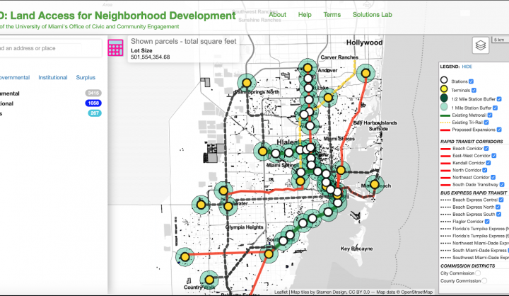
The Miami Affordability Project (MAP) is an interactive online map that explores housing needs in the Miami area. on the distribution of affordable housing and housing needs in the greater Miami area. With a mix of county, local, and federal data, the MAP provides a comprehensive look at the distribution of affordable housing, demographics, and environmental resiliency in greater Miami/Miami-Dade county. MAP is easy to use and open-access so that community groups and environmental advocates can benefit from the data, along with planners and developers.
MAP is updated in phases and is a part of broader resiliency and housing project at the University of Miami.
Datasets
Several data sources, including the Miami-Dade County Property Appraiser, Miami-Dade County's Department of Public Housing and Community Development, Miami-Dade County Open Data Hub, and FEMA flood zone data.
Partners
The Institute for Data Science and Computing